This is Ian Hoyer with the avalanche forecast on Friday, March 21st, at 7:30 a.m. sponsored by Klim and Cooke City Super 8/Bearclaw Bob’s. This forecast does not apply to operating ski areas.
This morning, new snow totals are:
5-8” near Big Sky
3-4” near West Yellowstone, Island Park and Cooke City
1-2” near Bozeman
Winds peaked yesterday evening, gusting 45-60 mph out of the west. They have backed off a little bit this morning, to 15-20 mph, gusting into the 30s and 40s mph. Temperatures are in the teens and 20s F.
Today, westerly winds will pick up again, blowing consistently in the 20s and 30s mph, with gusts into the 40s and 50s mph. High temperatures will be in the 20s and 30s F. We’ll see a mix of sun, clouds, and snow showers today before accumulating snow moves into the area tonight. By tomorrow morning, expect 4-8” around Island Park, 1-3” near West Yellowstone, Big Sky, and Cooke City, and only a dusting near Bozeman.

Around West Yellowstone, Island Park and Cooke City, 3-4” of new snow yesterday along with strong gusty winds built touchy wind slabs that will be easily triggered today. Riders in Island Park yesterday reported heavy snowfall, strong winds, and touchy wind slabs and cornices (observation). Wind Slab avalanches are most likely to break in the newly formed drifts, but could also break into deeper drifts from the multiple feet of snow that fell last weekend. These drifts are mostly at upper elevations, below ridgelines and cornices.
In addition to wind drifts, near West Yellowstone, you could also trigger a slide on deeper persistent weak layers. You aren’t super likely to trigger a Persistent Slab avalanche today as we’ve only had two reports of these slides in the last three weeks. But, the snowmobile triggered slide in the Taylor Fork on Wednesday shows it is clearly still possible (details). Thinner snowpacks at mid-elevations seem to be the prime suspects for these slides.
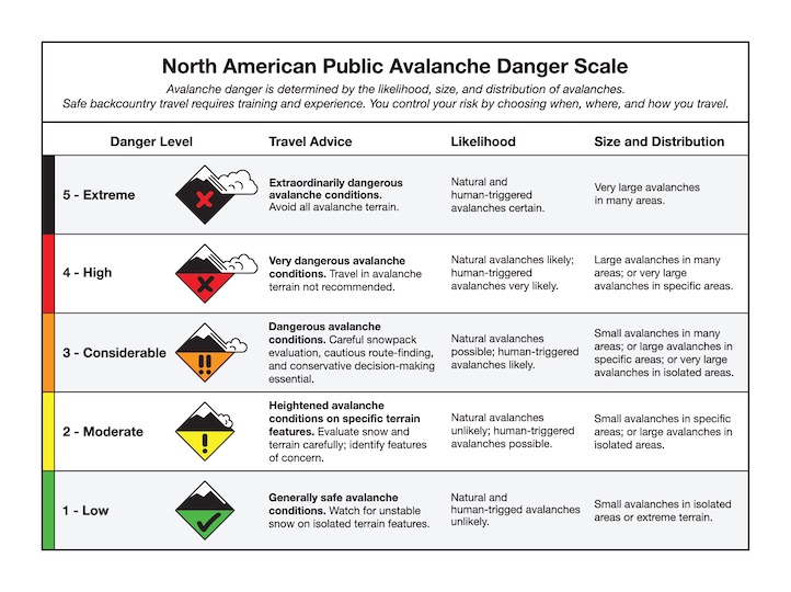
Today, wind loaded slopes have a CONSIDERABLE avalanche danger. All other slopes have a MODERATE danger.
The Big Sky area was the big winner in yesterday’s snowfall, with up to 8” of new snow. Fresh wind slabs will be up to a couple feet deep and easily triggered today. Keep your eyes out for signs of wind drifting and plan to avoid steep wind-drifted slopes. Pay careful attention to the texture of the snow beneath your feet or sled if you’re riding steep slopes that don’t seem wind affected. Cracks shooting out in front of you mean that the snow is in fact drifted and you need to get out of steep terrain ASAP.
The avalanche danger is CONSIDERABLE on wind loaded slopes. Slopes sheltered from the wind have good stability and a LOW danger.

Less new snow fell in the mountains around Bozeman, so fresh wind slabs will be smaller and less widespread. Look for the same signs of wind drifting and be ready to back off steep slopes if you find unstable drifts. A skier caught and carried 100 ft on Wednesday in the Bridgers is a good reminder of the power of even a relatively small slide (details and video). Slopes at higher elevations, beneath ridgelines and cornices are where you’re most likely to run into issues.
The avalanche danger is MODERATE on windloaded slopes and LOW on all other slopes.