This is Mark Staples with the avalanche forecast on the first day of spring Thursday, March 20th, at 7:00 a.m. sponsored by the Yellowstone Club Community Foundation and Bridger Bowl. This forecast does not apply to operating ski areas.
This morning may be the first day of spring but it feels like winter. Temperatures are hovering near 10 degrees F in most areas and in the mid to upper teens F in Hyalite Canyon and the Bridger Range. Winds were gusty yesterday and have increased this morning blowing 14-27 mph gusting in the 30s from the W and SW.
A small trough of low pressure moves overhead today bringing clouds and cold air that will limit daytime warming with temperatures struggling to get out of the upper teens F and a bit warmer in the Bridgers. Winds may ease a bit this morning and then increase midday gusting 30-40 mph from W and SW.
A good band of moisture is moving across Idaho and the Snake River Plain early this morning. The mountains near Island Park, West Yellowstone, and Cooke City could get 2-5 inches of snow by tomorrow morning. Other areas may only get 1-3 inches. There’s a break in the action Friday with more snow coming Friday night through Saturday followed by very warm and dry weather next week.

Snow totals from the weekend storm range from 24-46 inches of snow containing 2.3-4.8 inches of water. Many slopes have a deep, strong snowpack and good stability, BUT not all. There are two main avalanche problems, one is easy to avoid while the other is more tricky.
Heavy snowfall and ferocious winds formed large wind slabs last weekend and early this week. While these wind slabs may have stabilized some the last two days, more wind and snow will load the same slopes today keeping them on edge. These wind slabs can be quite large and mostly an issue at upper elevations above treeline. Several great examples of this problem were avalanches spotted yesterday north of Cooke City on Wolverine Peak and Scotch Bonnet and near Goose Lake.
The load of such heavy snowfall has also awakened a persistent slab avalanche problem, but this one is really tricky. Slopes with a relatively thinner snowpack still harbor weak, faceted snow and can produce avalanches like one in Sunlight Basin in the southern Madison Range yesterday. Some areas may have a thinner snowpack overall and will be easy to identify by digging a snowpit. Other areas will have isolated slopes with a thinner snowpack because they either previously avalanched or were scoured by winds at another time.
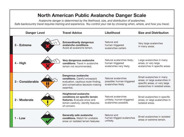
Today wind loaded slopes (loaded last weekend and being loaded again today) have a CONSIDERABLE avalanche danger. Slopes not loaded by winds have a MODERATE danger, but this is tricky. Riding slopes less than 30 degrees in steepness that aren’t steep enough to slide is always a great option.
The mountains near Bozeman and Big Sky have a strong deep snowpack, and the single avalanche problem is wind slab avalanches. Ski patrols triggered wind slabs 6-12 inches deep yesterday. While skiing at Bridger Bowl yesterday, I thought I could see several small wind slabs triggered on Saddle Peak, one at the top and one maybe halfway down.
Winds increased again this morning from the W and SW. They should be moving more snow today, building new wind slabs and keeping older ones on edge. As Ian found on the Throne in the Bridgers on Tuesday, the simplest option for good skiing and riding as well as good stability is to ride slopes sheltered from the wind.
Today with a little bit of snow falling and strong winds blowing, the avalanche danger will be CONSIDERABLE on wind loaded slopes. Getting out of the wind will be a challenge, but slopes sheltered from the wind with no wind deposited snow will have good stability and a LOW danger.