This is Dave Zinn with the avalanche forecast for Monday, March 17th, at 7:00 a.m. sponsored by Cooke City Super 8/Bearclaw Bob’s and Gallatin County Sheriff Search and Rescue. This forecast does not apply to operating ski areas.
AVALANCHE WARNING
Issued Monday, March 17, 2025, at 0500
The Gallatin National Forest Avalanche Center has issued an AVALANCHE WARNING for:
- The Centennial Range in Island Park.
- The Lionhead area near West Yellowstone.
- The Mountains around Cooke City.
Heavy snowfall combined with strong winds has increased the avalanche danger to HIGH on all slopes. Large, deadly avalanches are likely and can run long distances. Avoid any slope steeper than 30 degrees and lower-angle terrain in avalanche runout zones.
Depending on the weather, this warning will expire or be updated by 6:00 a.m. on Tuesday, March 18, 2025.
24-Hour Snowfall Totals:
- Centennial Mountains in Island Park: 20” with 2” of snow water equivalent (SWE).
- Cooke City: 14” (1.4” SWE).
- Bridger Range and Lionhead area: 10-12” (1.0-1.2” SWE).
- Madison and Gallatin Ranges: 4-6” (0.4-0.6” SWE).
This morning, temperatures are in the teens and 20s F with 15-35 mph winds from the west and southwest. Late yesterday into last night, 65-100 mph wind gusts blasted the mountains, with the strongest on Lionhead Ridge.
Today, winds will decrease and blow 10-20 mph with gusts in the 30s. High temperatures will be in the upper 20s to low 30s F with continuing snowfall. By tomorrow morning, the mountains around Cooke City, Island Park and West Yellowstone will receive 8-12” of snow, with 3-6” in the Gallatin, Madison, and Bridger Ranges.

Avalanche Warning
Very dangerous avalanche conditions exist in the mountains of Island Park, West Yellowstone and Cooke City. Natural and human-triggered avalanches are likely. Avoid slopes steeper than 30 degrees and lower-angle terrain in the runout zones of avalanche paths.
Slides will fail within the new and wind-drifted snow as wind slab and storm slab avalanches. Since Thursday, the mountains in Island Park have received 40” of snow, equal to 4.1” snow water equivalent (SWE). During the same period, the Lionhead area received 30” of snow and Cooke City received 24” of snow. Yesterday, hurricane-force gusts up to 100 mph transported snow into unstable slabs at all elevations (the strongest gusts were recorded on Lionhead Ridge).
In the Lionhead area, persistent slab avalanches breaking 3-5 feet deep on the weak snow buried in late January are possible. Slides on buried weak layers tapered off a couple of weeks ago, but heavy loading from recent snow could wake these layers up, resulting in large avalanches failing deep within the snowpack.
The specifics of weak layers and types of avalanches are irrelevant today. All can be large enough to injure or kill riders and skiers. Avoidance is critical.
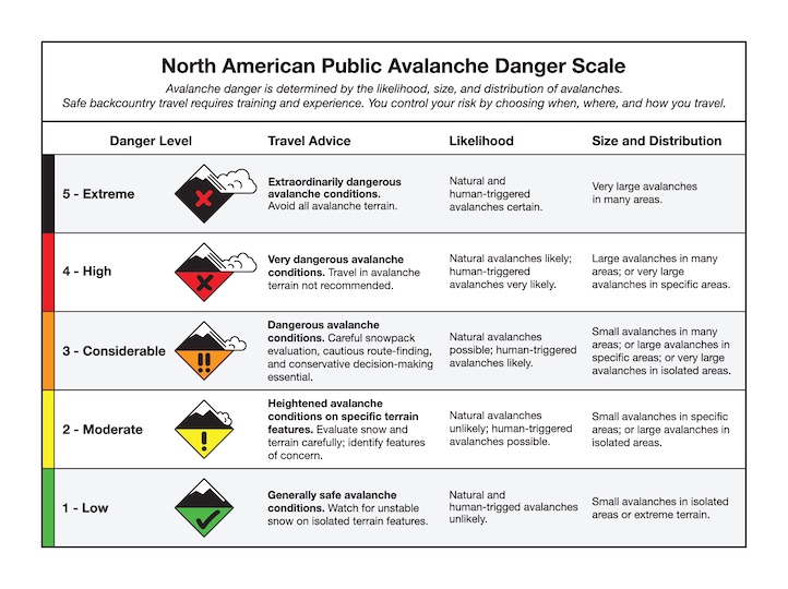
The avalanche danger is HIGH on all slopes.

Dangerous avalanche conditions exist in the Bridger, Southern Madison and Southern Gallatin Ranges, where 20-24” of snow has fallen since Thursday, and strong winds built unstable slabs of drifted snow. Human-triggered wind slab avalanches breaking 2-3 feet deep are likely. Yesterday, Alex and I avoided the steep terrain in Tepee Basin, where we measured two feet of recent snow and saw failures within and below the new snow (video). A warming trend yesterday is likely to result in increased instability within layers of the storm snow and storm slab avalanches.
Persistent slab avalanches breaking 3-5 feet deep on the weak snow buried in late January are possible in the Southern Gallatin and Southern Madison Ranges. On Friday, a snowmobiler triggered a 2-3 foot deep hard slab on a steep slope with a relatively shallow snowpack in the Taylor Fork (video, photo and obs). With the heavy loading from recent snow, we could see an increase in larger avalanches.
To enjoy a safe day in the mountains, cautious route-finding that largely avoids steep slopes and runout zones is essential. The avalanche danger is CONSIDERABLE on all slopes.

Since Thursday, the Northern Madison and Northern Gallatin Ranges have received 11-19” of snow (0.8-1.1” SWE). Strong winds scoured some slopes and loaded others, where wind slab avalanches breaking 1-2 feet deep are the primary concern. Yesterday, Mark and his partner triggered small drifts on test slopes (photos and details). Seek out slopes sheltered from the wind for better snow and safer avalanche conditions.
On non-wind-loaded slopes, loose snow avalanches are possible. While relatively harmless in open terrain, they can be dangerous above cliffs, rocks, or trees.
Identify and avoid unstable wind-loaded terrain by watching for a textured or pillowy snow surface, cracking or a stiffening of the snow surface. The avalanche danger is MODERATE.