24-25

New snow, generally stable, small loose slides

Date
Activity
Skiing

Toured up the south end of Miller Ridge to 9,500'. Dug a pit on a northeast facing slope, 9300' (profile and pic attached). Snow depth was 7-8 feet.

6" of new snow was right side up. Below the new snow was a soft (1F-) melt-freeze crust with soft decomposing and slightly faceted particles below. ECTN13 broke below the crust. Below that the snowpack was 1F to P+ hard and lacked weak layers. The Feb 4 dirt layer was clearly visible.

There was a small natural dry loose on south face of Crown Butte and I triggered a dry loose slide on a test slope near the ridge (video). Wind was calm, even along the ridge near regularly wind-loaded slopes, and there was no snow blowing off ridgelines. I saw no signs of fresh wind-loading, but when the wind blows there will be fresh drifts that will be possible to trigger.

Skies were broken to partly sunny with a few light snow showers. Slopes that received sun got moist at the surface (at least below 9,000').

Region
Cooke City
Location (from list)
Miller Ridge
Observer Name
Alex Marienthal

Small Wind Slab Avalanches on Woody Ridge

Hayden Creek
Cooke City
Code
SS-N-D1
Elevation
10000
Aspect Range
NE-E
Latitude
44.99520
Longitude
-109.90800
Notes

Today I observed multiple small wind slab avalanches off Woody Ridge. NE and E facing, 10000 ft. Max size D1. Also, there was many dry loose slides on Cooke Peak in Hayden Creek.

Number caught
0
Number buried
0
Avalanche Type
Soft slab avalanche
Trigger
Natural trigger
D size
1
Problem Type
Wind-Drifted Snow
Vertical Fall
100ft
Slab Width
25.00ft
Snow Observation Source
Slab Thickness units
centimeters
Single / Multiple / Red Flag
Multiple Avalanches
Advisory Year

Wind Slab Avalanches South of Cooke

Date
Activity
Skiing

Today I observed multiple small wind slab avalanches off Woody Ridge. NE and E facing, 10000 ft. Max size D1. Also, there was many dry loose slides on Cooke Peak in Hayden Creek.

Region
Cooke City
Location (from list)
Hayden Creek
Observer Name
J Mundt

Not snowing yet

Date
Activity
Skiing

Went up to Beehive Basin to check out the new snow as it was falling ---- but it wasn't, yet (between 10 am and 1 pm). There was a dusting of new snow when we arrived at the trailhead and a few flakes fell during the couple hours we were up there, but the substantial accumulations hadn't started. In fact, skies were mostly clear during our tour.

We skinned up the west facing sub-ridge to the Prayer Flags and descended via the Going Home Chute. Surface conditions were rough on any slope that wasn't shaded, with stout melt-freeze crusts. There was still a tiny bit of old, soft snow present in the shade.

No signs of instability or recent slab avalanches noted (we did see some older, wet loose slides).

Danger was LOW, while waiting for the storm to start in earnest.

Region
Northern Madison
Location (from list)
Beehive Basin
Observer Name
Ian Hoyer

GNFAC Avalanche Forecast for Fri Mar 14, 2025

Snowpack and Avalanche Discussion

<p><span><span><span><strong><span><span>Wind Slabs avalanches</span></span></strong></span></span></span><span><span><span><span><span><span> are the primary concern today, where the new snow has been drifted into deeper, more cohesive slabs. These drifts may be up to 2 ft deep and could be easily triggered today, but I don’t expect these deeper drifts to be widespread. Be especially on alert in areas where you’re finding more new snow and beneath ridgelines and cornices where the deepest drifts are likely to form. Look and feel for signs of wind effect and avoid wind drifted slopes to avoid most of the avalanche hazard today. Shooting cracks or recent avalanches are the clearest signs of instability. If you see these signs, stay off steep slopes and give the new snow some time to bond.&nbsp;</span></span></span></span></span></span></p>

<p><span><span><span><span><span><span>In spots where the snow piled up deepest, you might be able to trigger a dangerous </span></span></span></span></span></span><span><span><span><strong><span><span>Storm Slab avalanche </span></span></strong></span></span></span><span><span><span><span><span><span>on a slope without wind effect, but I mostly expect the new snow to have bonded well to the old snow surface and to be </span></span></span></span></span></span><a href="https://avalanche.org/avalanche-encyclopedia/#right-side-up-storm"><spa… up</span></span></u></span></span></span></span></span></a><span><span><span><span><span><span>.&nbsp;</span></span></span></span></span></span></p>

<p><span><span><span><span><span><span>If the sun comes out this afternoon, the new snow will quickly get wet and make for </span></span></span></span></span></span><span><span><span><strong><span><span>Wet Loose avalanches</span></span></strong></span></span></span><span><span><span><span><span><span>. These slides won’t generally be very deep, but could pick up speed and run far on firm crusts that formed over the last week.&nbsp;</span></span></span></span></span></span></p>

<p><span><span><span><strong><span><span>Near West Yellowstone, </span></span></strong></span></span></span><span><span><span><span><span><span>there is a weak layer of facets buried 2-3 ft deep that has been dormant. These probably won’t be an issue today, but we shouldn’t forget about them as they could wake up in the coming days as more new snow stacks up.&nbsp;</span></span></span></span></span></span></p>

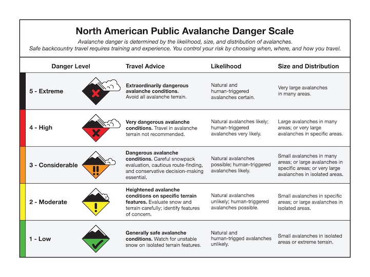
<p><span><span><span><span><span><span>The avalanche danger is MODERATE today across the advisory area.</span></span></span></span></span></span></p>

Storm Snow in the Centennial Range

Date
Activity
Snowmobiling

From phone call:

Kevin took a group into the Centennials.

8" of new snow at 8000'. Surface crust below the new snow was 3 CM thick. There was a facet layer below crust that was concerning. ECTN3 below crust. 

Kevin found the January facet layer 90 CM down (4F hardness) a couple miles north of White Elephant at 7800-7900' (0.5-1mm size). No results in tests but was concerned about their activation if the storm snow start stacking up.  

He noted that the Wind Slab and Storm Slab problems are growing. He saw shooting cracks in the new snow, several feet in front of his skis. 

Winds were light to moderate but gusting into the 20s mph. 

Region
Island Park
Location (from list)
Sawtelle Peak
Observer Name
Kevin Allred